The new nature of maps
Chapter two. Maps, Knowledge, and Power.
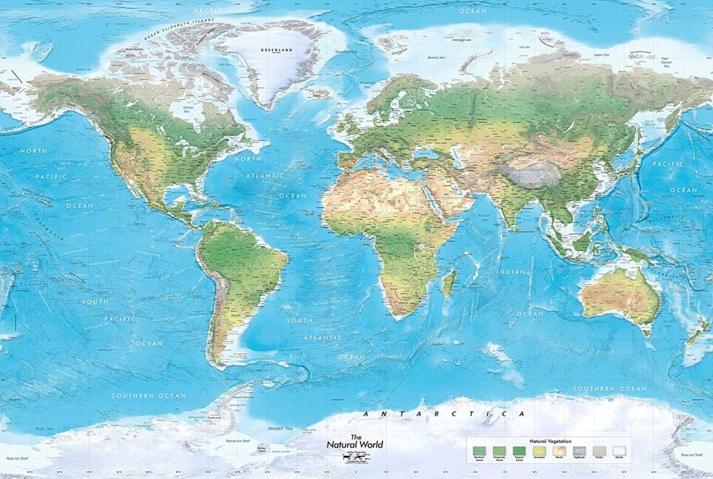
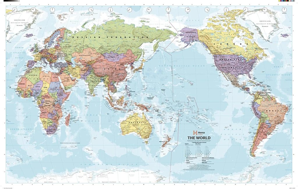
In this chapter of the book, the new nature of maps, the author talked about a history of maps, and he thought that a history of maps was significant as the political representation. The author mentioned lots of issues related to cartographic histories such as theoretical perspectives, political contexts for maps, maps and empire, maps and the nation-state, maps and property rights, and etc.. Among these aspects one issue was more interesting to me that was “Subliminal Geometry”. “The geometrical structure of maps—their graphic design in relation to the location on which they are centered or to the projection which determines their transformational relationship to the earth—is an element which can magnify the political impact of an image even where no conscious distortion is intended.” This is called omphalos syndrome that is people believe themselves to be divinely appointed to the center of the universe. Thus, when we see a map without any information, we might determine where the map was published or who designed the map.

Rethinking the power of maps
Chapter 3. Signs in the Service of the State
This article talked about how do we decode a map via specific codes, the author gave us 10 codes to help decoding a map below:
- Intrasignificant:
- Iconic: Iconic is subsumed the code of “things” with whose relative location the map is enrapt.
- Linguistic: Linguistic is the code of the names.
- Temporal: Temporal code is related to in time such as duration or tense.
- Tectonic: The relationship of things in space is given in the tectonic codes.
- Presentational: Concrete instantiations on the map are ordered, arranged, organized by the presentational code.
- Extrasignigicant:
- Thematic: If the presentational code permits the map to achieve a level of discourse, the thematic code establishes its domain.
- Topic: The topic code runs off with the space established by the tectonic code, turns it from space to place, gives the map its subject.
- Historical: The historical code, only it works on the time established in the map by the temporal code.
- Rhetorical: The rhetorical code that sets the tone, that having consumed the presentational code most completely orients the map in its culture , pointing in the very act of pointing somewhere else, to its author.
- Utilitarian: The utilitarian code to be carted off for any purpose myth might serve.

Reference:
- Wood, D., Fels, J., & Krygier, J. (2010). Rethinking the power of maps / Denis Wood ; with John Fels and John Krygier. New York: Guilford Press.
- Harley, J., Laxton, P., & Center for American Places. (2001). The new nature of maps : Essays in the history of cartography / J.B. Harley ; edited by Paul Laxton ; introductory essay by J.H. Andrews. Baltimore, Md.: Johns Hopkins University Press.
- Howells, R. (2003). Visual culture / Richard Howells. Cambridge, UK : Malden, MA: Polity ; Blackwell.
- Panofsky, E. (1934). Jan van Eyck’s Arnolfini Portrait. The Burlington Magazine for Connoisseurs,64(372), 117-127.